 |
CAS610S - CADASTRAL SURVEYING 2 - 1ST OPP - JUNE 2023 |
 |
1 Page 1 |
▲back to top |

nAmlBIA UnlVERSITY
OFSCIEnCEAno TECHno LOGY
FACULTY OF ENGINEERING AND THE BUILT ENVIRONMENT
DEPARTMENTOF LAND AND SPATIALSCIENCES
QUALIFICATIONS: BACHELOROF GEOMATICS,DIPLOMA IN GEOMATICS
QUALIFICATIONS CODES:06DGEO,07BGEO QUALIFICATIONS LEVEL: 6 - 06DGEO, 7 - 07BGEO
COURSE CODE: CAS610S
COURSE NAME: CADASTRALSURVEYING2
SESSION: JUNE 2023
DURATION: 3 HOURS
PAPER: THEORY
MARKS: 100
EXAMINER:
MODERATOR:
FIRST OPPORTUNITY EXAMINATION QUESTION PAPER
MrT. Makaza
Mr S. Sinvula
INSTRUCTIONS
1. You MUST answer ALL QUESTIONS.
2. Write clearly and neatly.
3. Number the answers clearly.
PERMISSIBLEMATERIALS
Calculators may be used as well as other drawing equipment
THIS QUESTION PAPER CONSISTS OF 4 PAGES (Including this Front Page)
 |
2 Page 2 |
▲back to top |

Cadastral Surveying 2
CAS610S
Question 1
Explain the following in the context of Act 33 of 1993 and regulations and/or as discussed in class.
(a) Rectilinear boundary
(2)
(b) Original diagram
(2)
(c) Registration (in relation to land)
(2)
(d) Sea shore
(2)
(e) Lapse by merger (in the context of a servitude)
(2)
(f)
Rural land
(2)
(g) Curvilinear boundary
(2)
(h) Alignment of a beacon
(2)
[16)
Question 2
(a) The Survey regulations board makes regulations in relation to certain matters. Name at any five(S)
of such matters.
(10)
(b) An arbitrator appointed under Act 33 of 1993 shall take into consideration the circumstances of the
particular case, but shall in general be guided by certain principles. Outline these principles.
(6)
[16)
Question 3
(a) State three (3) things that are not permitted to be placed or made near a trigonometrical beacon.
(3)
(b) What type of surveys are exempted from the provisions of Act 33 of 1993.
(3)
(c) Outline the duties of land surveyors.
(4)
[10)
First Opportunity Examination
Page 2 of4
June 2023
 |
3 Page 3 |
▲back to top |

Cadastral Surveying 2
CAS610S
Question 4
(a) Under what circumstances is it not necessary to indicate coordinates on a diagram?
(3)
(b)
In the survey of new townships and extensions FULLYoutline the guidelines on how reference
marks shall be placed.(Answer should indicate minimum number and spacing as well as
dimensions).
(5)
(c) State clearly how lengths and directions shall be recorded on a general plan.
(6)
[14)
Question 5
(a) A diagram shall contain coordinates of certain points, in metres, to two decimal places. Name at
least five (5) of such points.
(5)
(b) Apart from coordinates, what other numerical data needs to be shown on a diagram?
(4)
(c) On a diagram the locality of the land under survey is indicated. State what such locality information
consists of.
(3)
[12)
Question 6
(a) Regulation 18 refers to favourably situated main survey stations. Name ANY TWO attributes of such
stations.
(2)
(b) Name any six(6) components of survey records.
(6)
(c) (Fill in the missing information in following statement).
(2)
Unless a point is otherwise adequately checked -when its position is determined by intersection or
trilateration, the angle at the vertex of any triangle used in such determination shall not be less
than .........degrees nor greater than ............degrees.
[10)
First Opportunity Examination
Page 3 of 4
June 2023
 |
4 Page 4 |
▲back to top |

Cadastral Surveying 2
CAS610S
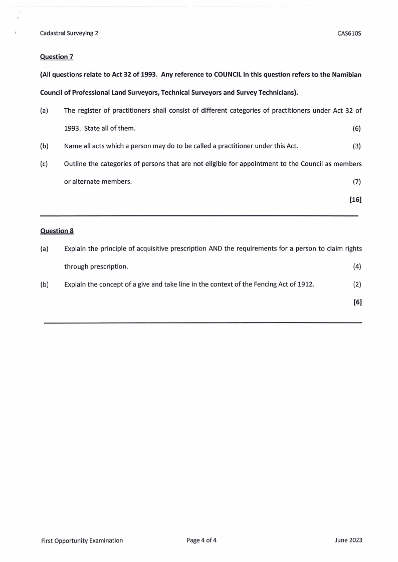
Question 7
(All questions relate to Act 32 of 1993. Any reference to COUNCIL in this question refers to the Namibian
Council of Professional Land Surveyors, Technical Surveyors and Survey Technicians).
(a) The register of practitioners shall consist of different categories of practitioners under Act 32 of
1993. State all of them.
(6)
(b) Name all acts which a person may do to be called a practitioner under this Act.
(3)
(c) Outline the categories of persons that are not eligible for appointment to the Council as members
or alternate members.
(7)
[16)
Question 8
(a) Explain the principle of acquisitive prescription AND the requirements for a person to claim rights
through prescription.
(4)
(b) Explain the concept of a give and take line in the context of the Fencing Act of 1912.
(2)
[6]
First Opportunity Examination
Page 4 of 4
June 2023


