 |
CAS610S - CADASDRAL SURVEYING 2 - 1ST OPP - JUNE 2022 |
 |
1 Page 1 |
▲back to top |

nAmlBIA UnlVERSITY
OF SCIEnCE Ano TECHnOLOGY
FACULTYOF ENGINEERINGAND SPATIALSCIENCES
DEPARTMENTOF ARCHITECTUREAND SPATIALSCIENCES
QUALIFICATIONS:
BACHELOROF GEOMATICS,DIPLOMA IN GEOMATICS
QUALIFICATIONSCODES:
06DGEO, 07BGEO
QUALIFICATIONSLEVEL:6 - 06DGEO, 7 - 07BGEO
COURSECODE: CAS610S
COURSENAME: CADASTRALSURVEYING2
SESSION: JUNE 2022
DURATION: 3 HOURS
PAPER: THEORY
MARKS: 100
EXAMINER:
MODERATOR:
FIRSTOPPORTUNITYEXAMINATION QUESTIONPAPER
MrT. Makaza
Mr S. Sinvula
INSTRUCTIONS
1. You MUST answer ALLQUESTIONS.
2. Write clearly and neatly.
3. Number the answers clearly.
PERMISSIBLEMATERIALS
Calculators may be used as well as other drawing equipment
THIS QUESTIONPAPERCONSISTSOF4 PAGES(Including this FrontPage)
 |
2 Page 2 |
▲back to top |

Cadastral Surveying 2
Question 1
CAS6105
Explain the following in the context of Act 33 of 1993 and regulations and/or as discussed in class.
(a) Servient tenement (in relation to servitudes)
(2)
(b) Alignment of a beacon
(2)
(c) Accurately determined
(2)
(d) Land abutting on a river
(2)
(e) Lapse by merger (in the context of a servitude)
(2)
(f)
Aggregate area (in relation to consolidation diagram)
(2)
[12)
Question 2
(a) What are the duties of a land surveyor?
(8)
(b) Outline any five powers and duties of the Surveyor General.
(5)
[13)
Question 3
(a) What are the minimum specifications for beacons in terms of regulation 15? How shall special
conditions on the ground be handled?
(7)
(b) Explain how an indicatory beacon shall be placed.
(2)
(c) State clearly how lengths and directions shall be recorded on a general plan.
(6)
(d) According to regulation 16, state ALL cases where it shall not be necessary to place beacons during
a survey.
(10)
First Opportunity Examination
Page 2 of4
June 2022
 |
3 Page 3 |
▲back to top |

Cadastral Surveying 2
CAS610S
(e) Describe FULLYthe procedure for connecting a survey to the national survey control system when
satellite-based positioning techniques are being used.
(2)
(f)
Regulation 18 refers to favourably situated main survey stations. Name ANY TWO attributes of such
stations.
(2)
(g) Regulation 9 prescribes limits of allowable errors in different classes of fieldwork. Outline these
classeswith a typical example for each classof the survey.
(6)
(h)
Name any six components of survey records.
(6)
[41]
Question 4 (All questions relate to Act 32 of 1993. Any reference to COUNCIL in this question refers to
the Namibian Council of Professional Land Surveyors, Technical Surveyors and Survey Technicians).
(a) Outline the categories of persons that are not eligible for appointment to the Council as members
or alternate members.
(7)
(b) Persons registered as apprentices are required to work under supervision. Outline the minimum
requirements for supervision for the different categories of apprentices.
(6)
(c) State the members of Council.
(5)
(d) What acts constitute professional misconduct for disciplinary proceedings against a practitioner?
(Exclude those acts specifically referring to a professional land surveyor)
(7)
[25]
First Opportunity Examination
Page 3 of 4
June 2022
 |
4 Page 4 |
▲back to top |

Cadastral Surveying 2
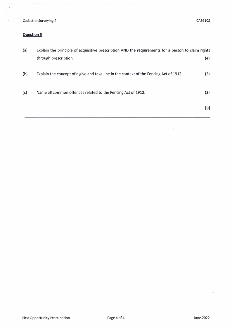
Question 5
CAS610S
(a) Explain the principle of acquisitive prescription AND the requirements for a person to claim rights
through prescription
(4)
(b) Explain the concept of a give and take line in the context of the Fencing Act of 1912.
(2)
(c) Name all common offences related to the Fencing Act of 1912.
(3)
[9]
First Opportunity Examination
Page 4 of 4
June 2022


