 |
CAS520S - CADASTRAL SURVEYING 1 - 2ND OPP - JULY 2022 |
 |
1 Page 1 |
▲back to top |

I
nAmlBIA unlVERSITY
OF SCIEnCE TECHnOLOGY
FACULTYOF ENGINEERINGAND SPATIALSCIENCES
DEPARTMENTOF ARCHITECTUREAND SPATIALSCIENCES
QUALiFICATIONS:
BACHELOR OF GEOMATICS, DIPLOMA IN GEOMATICS
QUALIFICATIONSCODES:
07BGEO, 06DGEO
QUALIFICATIONSLEVEL:
7-07BGEO,6-06DGEO
COURSECODE: CAS520S
COURSENAME: CADASTRAL SURVEYING 1
SESSION:JULY 2022
DURATION: 3 HOURS
PAPER:THEORY
MARKS: 100
SECONDOPPORTUNITY/SUPPLEMENTARYEXAMINATION QUESTION PAPER
EXAMINER
MrT. Makaza
MODERATOR:
Mr S. Sinvula
INSTRUCTIONS
1. Answer ALL the questions.
2. Write clearly and neatly.
3. Number the answers clearly.
PERMISSIBLEMATERIALS
Calculator, ruler, pencil and eraser
THIS QUESTIONPAPERCONSISTSOF4 PAGES(Including this front page)
 |
2 Page 2 |
▲back to top |

Cadastral Surveying 1
Question 1
CAS520S
(a)
Define Cadastral Surveying.
(4)
(b) Explain how the need for land measurement and the need to keep records of claims to ownership of
individual land parcels arose in ancient Egypt.
(2)
(c) "Because the cadastral system in Egypt developed around the definition of arable land, the system
became also quite important in re-establishing the delineated boundaries after the annual floods of
the Nile River washed away the evidence of land boundaries." Describe how these boundaries were
re-established after the annual floods.
(2)
(d) In South Africa, the first land surveyor came to the Cape in 1657. The first cadastral survey was the
survey of a piece of land on the banks of the Liesbeeck River. Describe the features that were adopted
as boundaries for the said property.
(2)
(e) In Namibia, iron pegs have been adopted as beacons for marking property boundaries. State three
natural or man-made features that in some countries have been/are used as property boundaries.
(3)
(f)
State the FULLname of the South African piece of legislation on which the current Land Survey Act 33
of 1993 used in Namibia is based.
(2)
(g) Give a summary of the history of Cadastral Surveying in Namibia.
(5)
[20]
Question 2
(a) Define 'real servitude/praedial servitude'.
(2)
(b) State the two terms given to two properties that are involved in a servitude such as a right of way
servitude. Indicate the correct term for each property.
(4)
Second Opportunity Examination
Page 2 of 4
July 2022
 |
3 Page 3 |
▲back to top |

Cadastral Surveying 1
(c)
Mention three conditions that must be satisfied for consolidation to be possible.
CAS520S
(3)
(d)
What is the purpose of demarcation ?
(2)
(e) When a client wants his/her property beacons to be relocated or the property to be surveyed the
client appoints a land surveyor to do the necessary work. What are the four typical steps that a land
surveyor follows in preparing to do the work?
(4)
(f)
Name at least four reasons that may necessitate a beacon relocation and replacement.
(8)
(g) Describe what subdivision of an erf entails. Indicate also the statutory requirements, if any.
(3)
[26)
Question 3
(a) State any four kinds of information contained in the erf register.
(4)
(b) The survey diagram is the fundamental registrable document prepared by a land surveyor. Mention
any eight essential information that is shown on a diagram.
(8)
(c)
Indicate at least four scales which can be used to plot the figure of a diagram.
(4)
(d) What situation necessitates the preparation of a general plan rather than a diagram?
(2)
(e) Concerning a subdivision, explain what a mother diagram is.
(2)
(f)
Give a brief description of the four sections that comprise the Division Survey and Land Information.
(8)
[28)
Second Opportunity Examination
Page 3 of 4
July 2022
 |
4 Page 4 |
▲back to top |

Cadastral Surveying 1
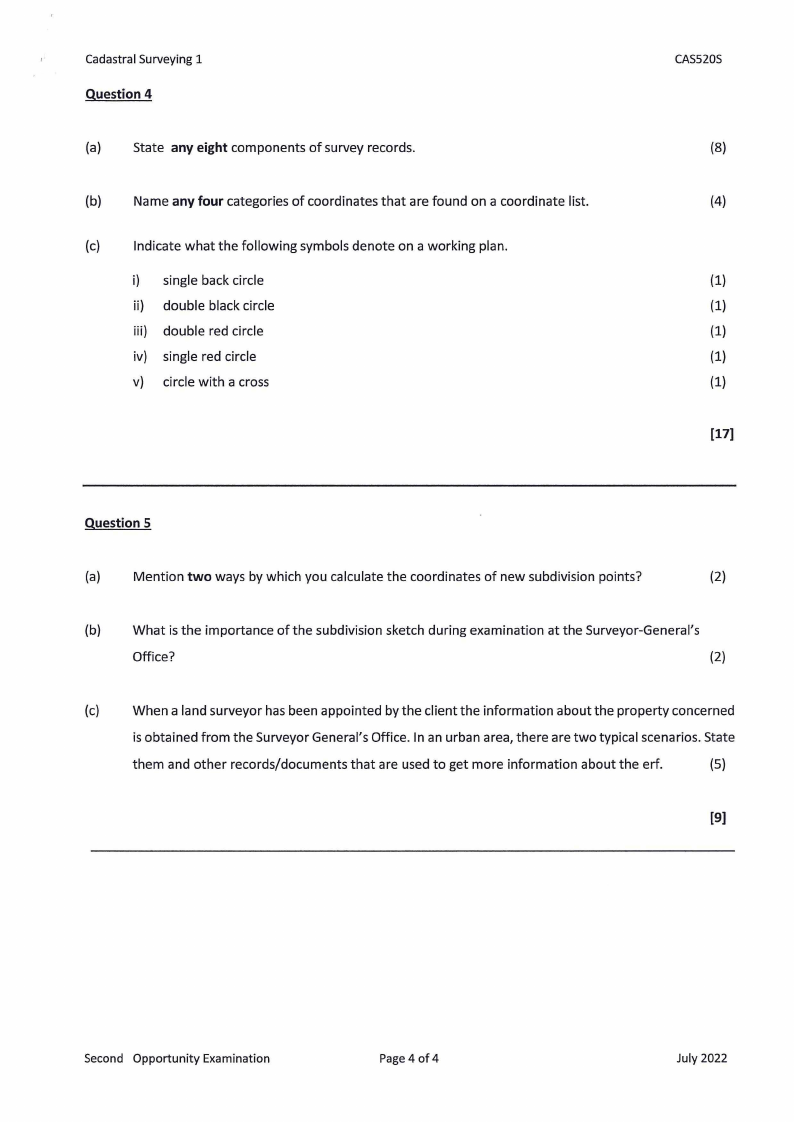
Question 4
(a) State any eight components of survey records.
(b)
Name any four categories of coordinates that are found on a coordinate list.
(c) Indicate what the following symbols denote on a working plan.
i) single back circle
ii) double black circle
iii) double red circle
iv) single red circle
v) circle with a cross
CAS520S
(8)
(4)
(1)
(1)
(1)
(1)
(1)
[17)
Question 5
(a) Mention two ways by which you calculate the coordinates of new subdivision points?
(2)
(b) What is the importance of the subdivision sketch during examination at the Surveyor-General's
Office?
(2)
(c) When a land surveyor has been appointed by the client the information about the property concerned
is obtained from the Surveyor General's Office. In an urban area, there are two typical scenarios. State
them and other records/documents that are used to get more information about the erf.
(5)
[9]
Second Opportunity Examination
Page 4 of 4
July 2022


