 |
CAS520S - CADASTRAL SURVEYING 1 - 1ST OPP - JUNE 2023 |
 |
1 Page 1 |
▲back to top |

nAmlBIA UnlVERSITY
OF SCIEnCE AnD TECHnOLOGY
FACULTY OF ENGINEERING AND THE BUILT ENVIRONMENT
DEPARTMENT OF LAND AND SPATIALSCIENCES
QUALIFICATIONS: BACHELOROF GEOMATICS,DIPLOMA IN GEOMATICS
QUALIFICATIONS CODES:07BGEO,06DGEO QUALIFICATIONS LEVEL:7 - 07BGEO, 6 - 0GDGEO
COURSECODE: CAS5205
SESSION:JUNE 2023
DURATION: 3 HOURS
COURSENAME: CADASTRALSURVEYING1
PAPER:THEORY
MARKS: 100
EXAMINER:
MODERATOR:
FIRSTOPPORTUNITYEXAMINATIONQUESTIONPAPER
MrT.Makaza
Mr S. Sinvula
INSTRUCTIONS
1. Answer ALLthe questions.
2. Write clearly and neatly.
3. Number the answers clearly.
PERMISSIBLME ATERIALS
Calculator, ruler, pencil and eraser
THISQUESTIONPAPERCONSISTSOF4 PAGES(Including this front page)
 |
2 Page 2 |
▲back to top |

Cadastral Surveying 1
Question 1
{a) Cadastral surveying can be carried out as two (2) operations. State them.
CAS520S
(2)
(b) In South Africa the first land surveyor came to the Cape in 1657. The first cadastral survey was the
survey of a piece of land on the banks of the Liesbeeck River. Describe the features that were adopted
as boundaries for the said property.
(2)
{c) What was the reason for the promulgation of Act No. 32 of 1993?
(2)
(d) Outline any five (5) powers and duties of the Surveyor General.
(10)
(e) Give a short summary of the history of Cadastral Surveying in Namibia.
(6)
(f)
The cadastral system in Namibia is considered among the best internationally. Explain any two reasons
for this.
(2)
(g) Who are the members of Namibian Council for Professional Land Surveyors, Technical Surveyors and
Survey Technicians {SURCON)
(5)
(h) Define 'Land Surveyor' as per the Land Survey Act 33 of 1993.
(3)
[32)
Question 2
(a) Explain four (4) reasons that may necessitate a beacon relocation.
(4)
(b) Outline the requirements for a piece of land to be registered in the Deeds Registry?
(2)
(c)
Before carrying out a survey, one of the important things that a land surveyor does is to go to the
Surveyor General's office to look for survey information. Indicate any three (3) examples of such
information.
(3)
[9]
First Opportunity Examination
Page 2 of 4
June 2023
 |
3 Page 3 |
▲back to top |

Cadastral Surveying 1
CAS520S
Question 3
(a) Briefly explain the key processes to be followed by an owner who wishes to subdivide an erf in a
township. Also include the professionals that are involved.
(4)
(b) When doing a subdivision, which two (2) methods can be used to determine the coordinates of the
new beacons to be placed.
(2)
[6]
Question 4
(a) Mention and describe any five (5) kinds of survey diagrams.
(10)
(b) Mention any eight (8) types of essential information found on a diagram.
(8)
(c) Name and briefly explain the two(2) types of property registers found in the Surveyor General's office.
(6)
(d) Explain the difference between a diagram and a general plan.
(2)
[26]
Question 5
(a) State any five (5) headings that may prove useful as a basisfor a cadastral survey report.
(5)
(b) When preparing a subdivision sketch it is critical to include information that may have a bearing on
the subdivision. Name five (5) examples of such information.
(6)
(c) Mention a least seven (7) components of survey records.
(7)
(d) The Surveyor General usually approves a minimum of three copies of a diagram. Explain who keeps
these three (3) copies after approval.
(3)
(e) What is the purpose of a data consistency check?
(2)
[22]
First Opportunity Examination
Page 3 of 4
June 2023
 |
4 Page 4 |
▲back to top |

Cadastral Surveying 1
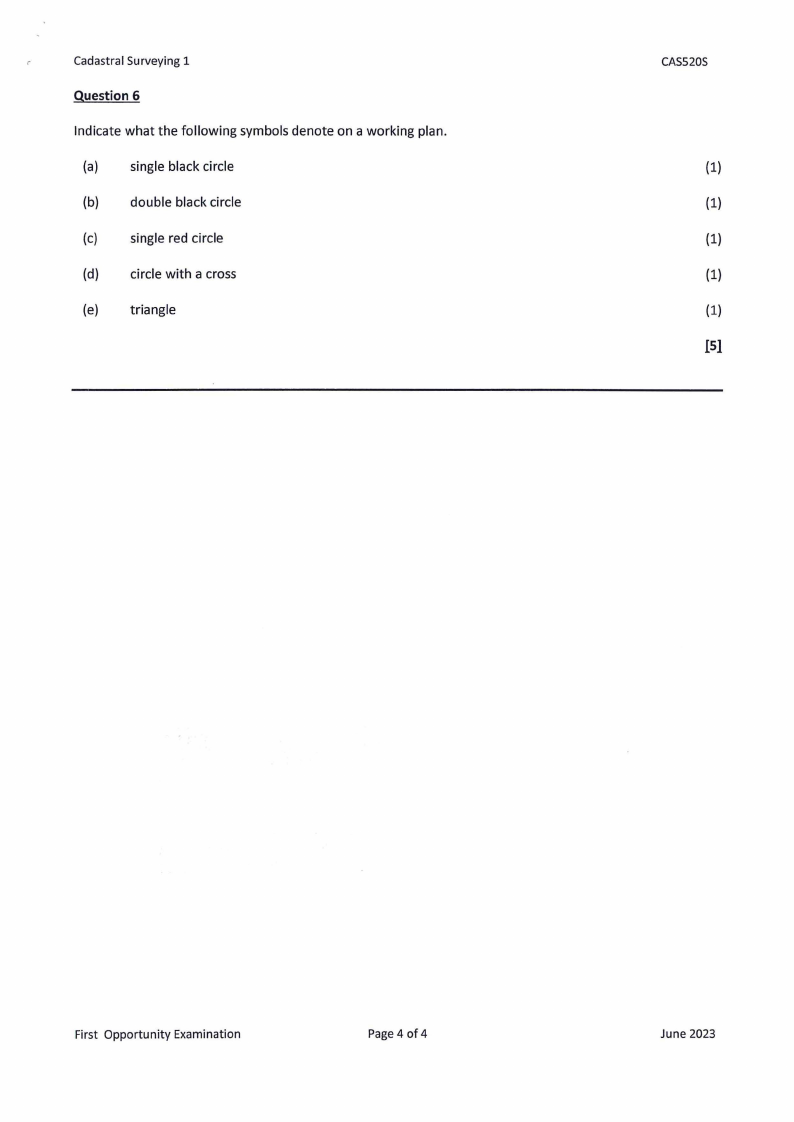
Question 6
Indicate what the following symbols denote on a working plan.
(a) single black circle
(b) double black circle
(c) single red circle
(d) circle with a cross
(e) triangle
CASS20S
(1)
(1)
(1)
(1)
(1)
IS}
First Opportunity Examination
Page 4 of 4
June 2023


